 vesseltracker.com
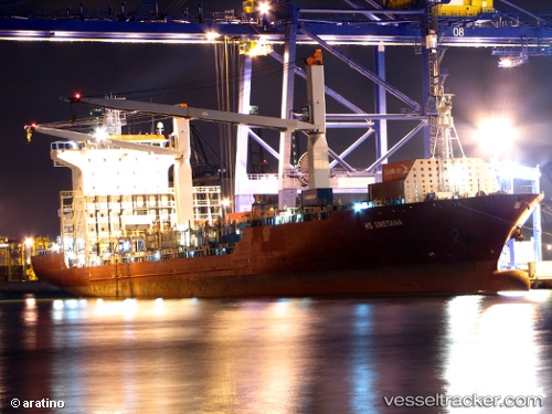
Anassa
Current StatusWhere is the vessel?
Anassa is currently in 14 nm SE of Beira, based on AIS data received about 2h ago.
Latest AIS update:
Current position: 19.93181° S, 35.03701° E (14 nm SE of Beira)
Average speed (last 7 days): Loading…
Average speed (last 30 days): Loading…
Vessel profile: Anassa is a Container Ship with dimensions 27m x 175m.
This page combines live AIS, route history, probable destination signals, nearby traffic, and port activity for practical vessel monitoring.
The current position of vessel Anassa is -19.93181 lat / 35.03701 lng. Updated: 2026-05-15 01:06:39 UTCNearest reference points:
- 14 nm E of Beira
- 21 nm SE of Beira
- 24 nm SE of Beira
Details:
Live Vessel Anassa Analytics (details, animations, etc.)
Recent AIS points (UTC):
2026-05-14 21:37:02 UTC · -19.81875, 34.83420 · SOG 0 kn · COG 12°2026-05-14 22:40:05 UTC · -19.81867, 34.83418 · SOG 0 kn · COG 12°
2026-05-15 00:02:40 UTC · -19.87753, 34.89945 · SOG 5.5 kn · COG 84°
2026-05-15 01:06:39 UTC · -19.93181, 35.03701 · SOG 10.7 kn · COG 125°