 vesseltracker.com
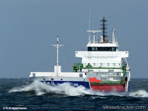
 Amber Sky
Current Status
Where is the vessel?
Amber Sky is currently in Near Hijum, based on AIS data received less than 1h ago.
Latest AIS update:
Current position: 53.36463° N, 4.66465° E (Near Hijum)
Average speed (last 7 days): Loading…
Average speed (last 30 days): Loading…
Vessel profile: Amber Sky is a General Cargo with dimensions 106m x 14.4m.
This page combines live AIS, route history, probable destination signals, nearby traffic, and port activity for practical vessel monitoring.
The current position of vessel Amber Sky is 53.36463 lat / 4.66465 lng. Updated: 2026-05-14 11:38:02 UTCNearest reference points:
- Near Molengat
- Near de Waal
- Near OUDESCHILD
Currently sailing under the flag of Portugal ![]()
Amber Sky built in 2005 year
Deadweight:
5780 tDetails:
Live Vessel Amber Sky Analytics (details, animations, etc.)
Recent AIS points (UTC):
2026-05-14 08:24:43 UTC · 52.86014, 4.25306 · SOG 10.3 kn · COG 23°2026-05-14 10:14:01 UTC · 53.14336, 4.48030 · SOG 10.1 kn · COG 31°
2026-05-14 10:42:02 UTC · 53.21432, 4.54987 · SOG 10.7 kn · COG 31°
2026-05-14 11:38:02 UTC · 53.36463, 4.66465 · SOG 10.7 kn · COG 25°