 vesseltracker.com
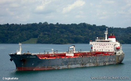
 TULU
TULU
Current Status
Where is the vessel?
TULU is currently in Near Vysotsk, based on AIS data received about 1h ago.
Latest AIS update:
Current position: 60.58217° N, 28.49862° E (Near Vysotsk)
Average speed (last 7 days): Loading…
Average speed (last 30 days): Loading…
Vessel profile: TULU is a Oil/Chemical Tanker with dimensions m x m.
This page combines live AIS, route history, probable destination signals, nearby traffic, and port activity for practical vessel monitoring.
The current position of vessel TULU is 60.58217 lat / 28.49862 lng. Updated: 2026-05-15 11:40:56 UTCNearest reference points:
- Near Primorsk
- 10 nm SE of Primorsk
- 11 nm NE of VISTINO
Currently sailing under the flag of Barbados ![]()
Details:
Live Vessel TULU Analytics (details, animations, etc.)
Recent AIS points (UTC):
2026-05-14 17:43:16 UTC · 59.97396, 26.91305 · SOG 9.4 kn · COG 99°2026-05-15 08:30:40 UTC · 60.58263, 28.49616 · SOG 0 kn · COG 53°
2026-05-15 10:29:41 UTC · 60.58237, 28.49734 · SOG 0 kn · COG 27°
2026-05-15 11:40:56 UTC · 60.58217, 28.49862 · SOG 0 kn · COG 4°