 vesseltracker.com
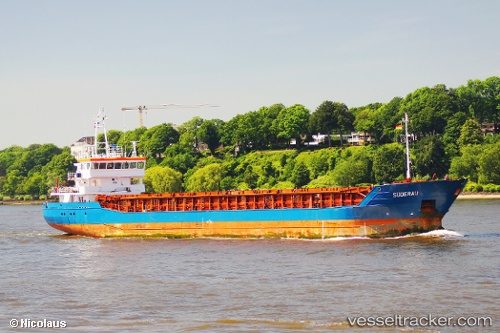
 RUHRTAL
Current Status
Where is the vessel?
RUHRTAL is currently in Near Krieschow, based on AIS data received less than 1h ago.
Latest AIS update:
Current position: 51.85561° N, 1.62861° E (Near Krieschow)
Average speed (last 7 days): Loading…
Average speed (last 30 days): Loading…
Vessel profile: RUHRTAL is a General Cargo Ship with dimensions 88m x 12m.
This page combines live AIS, route history, probable destination signals, nearby traffic, and port activity for practical vessel monitoring.
The current position of vessel RUHRTAL is 51.85561 lat / 1.62861 lng. Updated: 2026-05-14 04:34:47 UTCNearest reference points:
- 11 nm NW of Krieschow
- Near Dovercourt
- Near Felixstowe
Currently sailing under the flag of Portugal (MAR) ![]()
RUHRTAL built in 2005 year
Deadweight:
3707 tDetails:
Live Vessel RUHRTAL Analytics (details, animations, etc.)
Recent AIS points (UTC):
2026-05-14 01:23:56 UTC · 51.93132, 2.26525 · SOG 8 kn · COG 248°2026-05-14 01:31:38 UTC · 51.92596, 2.23755 · SOG 8.1 kn · COG 246°
2026-05-14 03:43:19 UTC · 51.83669, 1.80812 · SOG 7.7 kn · COG 287°
2026-05-14 04:34:47 UTC · 51.85561, 1.62861 · SOG 8 kn · COG 284°