 vesseltracker.com
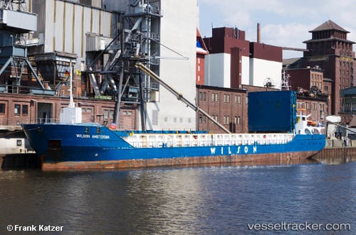
 WILSON AMSTERDAM
Current Status
Where is the vessel?
WILSON AMSTERDAM is currently in 66 nm NW of Caleta de Sebo, based on AIS data received about 3h ago.
Latest AIS update:
Current position: 30.21048° N, 14.06802° W (66 nm NW of Caleta de Sebo)
Average speed (last 7 days): Loading…
Average speed (last 30 days): Loading…
Vessel profile: WILSON AMSTERDAM is a General Cargo Ship with dimensions 13m x 90m.
This page combines live AIS, route history, probable destination signals, nearby traffic, and port activity for practical vessel monitoring.
The current position of vessel WILSON AMSTERDAM is 30.21048 lat / -14.06802 lng. Updated: 2026-05-13 06:12:55 UTCNearest reference points:
- 58 nm N of Caleta de Sebo
- 56 nm NW of Caleta de Sebo
- 83 nm N of Caleta de Sebo
Currently sailing under the flag of Barbados ![]()
WILSON AMSTERDAM built in 2009 year
Deadweight:
3602 tDetails:
Live Vessel WILSON AMSTERDAM Analytics (details, animations, etc.)
Recent AIS points (UTC):
2026-05-13 01:55:00 UTC · 30.76857, -13.81900 · SOG 7.9 kn · COG 202°2026-05-13 03:07:31 UTC · 30.61694, -13.88886 · SOG 8.2 kn · COG 201°
2026-05-13 03:36:03 UTC · 30.55520, -13.91661 · SOG 8.5 kn · COG 201°
2026-05-13 06:12:55 UTC · 30.21048, -14.06802 · SOG 8.3 kn · COG 201°