 vesseltracker.com
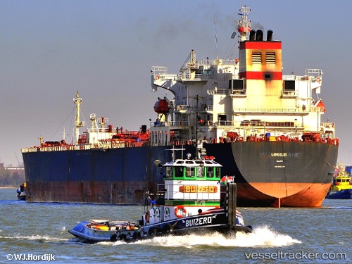
 FLINT WIND
Current Status
Where is the vessel?
FLINT WIND is currently in Near TANGER MED, based on AIS data received less than 1h ago.
Latest AIS update:
Current position: 35.89783° N, 5.49768° W (Near TANGER MED)
Average speed (last 7 days): Loading…
Average speed (last 30 days): Loading…
Vessel profile: FLINT WIND is a Oil Products Tanker with dimensions m x m.
This page combines live AIS, route history, probable destination signals, nearby traffic, and port activity for practical vessel monitoring.
The current position of vessel FLINT WIND is 35.89783 lat / -5.49768 lng. Updated: 2026-05-14 22:22:31 UTCNearest reference points:
- Near TARIFA
- Near TANGER MED
- Near Algeciras
Currently sailing under the flag of Guinea ![]()
Details:
Live Vessel FLINT WIND Analytics (details, animations, etc.)
Recent AIS points (UTC):
2026-05-14 18:09:20 UTC · 35.89787, -5.49770 · SOG 0 kn · COG 48°2026-05-14 19:09:11 UTC · 35.89782, -5.49768 · SOG 0 kn · COG 48°
2026-05-14 19:51:21 UTC · 35.89784, -5.49770 · SOG 0 kn · COG 48°
2026-05-14 22:22:31 UTC · 35.89783, -5.49768 · SOG 0 kn · COG 49°