 vesseltracker.com
 MILEY
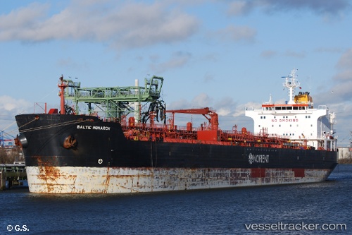
MILEY
Current Status
Where is the vessel?
MILEY is currently in 45 nm NE of PENGERANG, based on AIS data received about 114d ago.
Latest AIS update:
Current position: 1.85055° N, 104.70601° E (45 nm NE of PENGERANG)
Average speed (last 7 days): Loading…
Average speed (last 30 days): Loading…
Vessel profile: MILEY is a Chemical Oil Products Tanker with dimensions 183m x 27m.
This page combines live AIS, route history, probable destination signals, nearby traffic, and port activity for practical vessel monitoring.
The current position of vessel MILEY is 1.85055 lat / 104.70601 lng. Updated: 2026-01-21 08:49:11 UTCNearest reference points:
- 45 nm NE of PENGERANG
- 51 nm NE of PENGERANG
- 47 nm NE of PENGERANG
Currently sailing under the flag of Guinea ![]()
MILEY built in 2006 year
Deadweight:
37273 tDetails:
Live Vessel MILEY Analytics (details, animations, etc.)
Recent AIS points (UTC):
2026-01-21 08:49:11 UTC · 1.85055, 104.70601 · SOG 0 kn · COG 32°