 vesseltracker.com
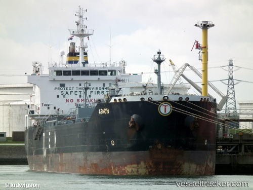
 INDRAS
Current Status
Where is the vessel?
INDRAS is currently in 29 nm SE of River Dart, based on AIS data received about 1h ago.
Latest AIS update:
Current position: 49.93355° N, 3.10678° W (29 nm SE of River Dart)
Average speed (last 7 days): Loading…
Average speed (last 30 days): Loading…
Vessel profile: INDRAS is a Oil/Chemical Tanker with dimensions m x m.
This page combines live AIS, route history, probable destination signals, nearby traffic, and port activity for practical vessel monitoring.
The current position of vessel INDRAS is 49.93355 lat / -3.10678 lng. Updated: 2026-05-15 17:35:28 UTCNearest reference points:
- 16 nm SE of Brixham
- 23 nm NW of Saint Sampson
- Near Brixham
Currently sailing under the flag of Sierra Leone ![]()
Details:
Live Vessel INDRAS Analytics (details, animations, etc.)
Recent AIS points (UTC):
2026-05-15 13:50:03 UTC · 50.15850, -1.97975 · SOG 15.1 kn · COG 253°2026-05-15 15:58:47 UTC · 50.03218, -2.68763 · SOG 11.6 kn · COG 259°
2026-05-15 16:35:56 UTC · 49.99672, -2.85987 · SOG 11 kn · COG 251°
2026-05-15 17:35:28 UTC · 49.93355, -3.10678 · SOG 10.1 kn · COG 238°