 vesseltracker.com
 Pointe Des Colibris
Current Status
Where is the vessel?
Pointe Des Colibris is currently in Open sea (no nearby ports in database), based on AIS data received less than 1h ago.
Latest AIS update:
Current position: 24.79596° N, 127.02809° W (Open sea (no nearby ports in database))
Average speed (last 7 days): Loading…
Average speed (last 30 days): Loading…
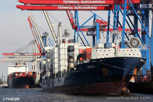
Vessel profile: Pointe Des Colibris is a Container Ship with dimensions 225m x 30m.
This page combines live AIS, route history, probable destination signals, nearby traffic, and port activity for practical vessel monitoring.
The current position of vessel Pointe Des Colibris is 24.79596 lat / -127.02809 lng. Updated: 2026-05-13 19:22:06 UTCNearest reference points:
- Open sea (no nearby ports in database)
- Open sea, approx. 408 nm off the nearest listed port
- Open sea, approx. 414 nm off the nearest listed port
Currently sailing under the flag of Portugal ![]()
Pointe Des Colibris built in 2006 year
Deadweight:
39200 tDetails:
Live Vessel Pointe Des Colibris Analytics (details, animations, etc.)
Recent AIS points (UTC):
2026-05-13 15:28:21 UTC · 24.51559, -125.75109 · SOG 18.4 kn · COG 285°2026-05-13 16:20:00 UTC · 24.57715, -126.02995 · SOG 18.5 kn · COG 285°
2026-05-13 18:05:47 UTC · 24.70625, -126.60836 · SOG 18.5 kn · COG 285°
2026-05-13 19:22:06 UTC · 24.79596, -127.02809 · SOG 18.5 kn · COG 285°