 vesseltracker.com
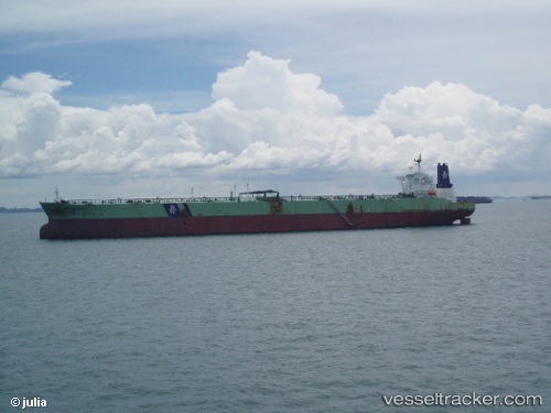
 DHT BAUHINIA
Current Status
Where is the vessel?
DHT BAUHINIA is currently in 17 nm NE of NISHINOOMOTE, based on AIS data received about 2h ago.
Latest AIS update:
Current position: 30.97215° N, 131.17429° E (17 nm NE of NISHINOOMOTE)
Average speed (last 7 days): Loading…
Average speed (last 30 days): Loading…
Vessel profile: DHT BAUHINIA is a Crude Oil Tanker with dimensions m x m.
This page combines live AIS, route history, probable destination signals, nearby traffic, and port activity for practical vessel monitoring.
The current position of vessel DHT BAUHINIA is 30.97215 lat / 131.17429 lng. Updated: 2026-05-14 23:10:57 UTCNearest reference points:
- Near YAMAGAWA
- Near Kiire
- Near Kagoshima
Currently sailing under the flag of Marshall Islands ![]()
Details:
Live Vessel DHT BAUHINIA Analytics (details, animations, etc.)
Recent AIS points (UTC):
2026-05-14 09:25:58 UTC · 31.06650, 134.52960 · SOG 13.1 kn · COG 265°2026-05-14 21:23:58 UTC · 30.97588, 131.62672 · SOG 12.7 kn · COG 270°
2026-05-14 22:21:57 UTC · 30.97602, 131.38295 · SOG 13.4 kn · COG 270°
2026-05-14 23:10:57 UTC · 30.97215, 131.17429 · SOG 12.5 kn · COG 270°