 vesseltracker.com
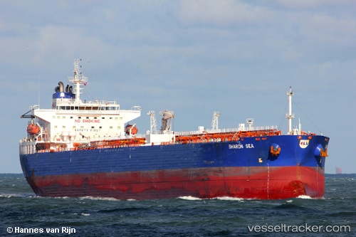
 CHEMTRANS NOVA
Current Status
Where is the vessel?
CHEMTRANS NOVA is currently in 119 nm E of Pécsvárad, based on AIS data received about 2h ago.
Latest AIS update:
Current position: 46.26833° N, 15.54667° W (119 nm E of Pécsvárad)
Average speed (last 7 days): Loading…
Average speed (last 30 days): Loading…
Vessel profile: CHEMTRANS NOVA is a Crude Oil Tanker with dimensions m x m.
This page combines live AIS, route history, probable destination signals, nearby traffic, and port activity for practical vessel monitoring.
The current position of vessel CHEMTRANS NOVA is 46.26833 lat / -15.54667 lng. Updated: 2026-05-15 01:09:31 UTCCurrently sailing under the flag of Antigua and Barbuda ![]()
Details:
Live Vessel CHEMTRANS NOVA Analytics (details, animations, etc.)
Recent AIS points (UTC):
2026-05-14 22:18:27 UTC · 46.49667, -14.79333 · SOG 11 kn · COG -1°2026-05-14 22:51:28 UTC · 46.45833, -14.94167 · SOG 12 kn · COG -1°
2026-05-14 23:39:29 UTC · 46.39500, -15.15333 · SOG 11 kn · COG -1°
2026-05-15 01:09:31 UTC · 46.26833, -15.54667 · SOG 11 kn · COG -1°