 vesseltracker.com
 HENG AN YANG
Current Status
Where is the vessel?
HENG AN YANG is currently in 12 nm N of VISTINO, based on AIS data received less than 1h ago.
Latest AIS update:
Current position: 59.97478° N, 28.59078° E (12 nm N of VISTINO)
Average speed (last 7 days): Loading…
Average speed (last 30 days): Loading…
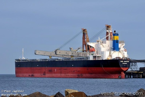
Vessel profile: HENG AN YANG is a Bulk Carrier with dimensions 225m x 32m.
This page combines live AIS, route history, probable destination signals, nearby traffic, and port activity for practical vessel monitoring.
The current position of vessel HENG AN YANG is 59.97478 lat / 28.59078 lng. Updated: 2026-04-28 07:44:12 UTCNearest reference points:
- 11 nm NE of VISTINO
- 10 nm NE of VISTINO
- Near VISTINO
Currently sailing under the flag of China Peopless Republic ![]()
HENG AN YANG built in 2006 year
Deadweight:
75765 tDetails:
Live Vessel HENG AN YANG Analytics (details, animations, etc.)
Recent AIS points (UTC):
2026-04-26 17:48:08 UTC · 59.94993, 28.55983 · SOG 0.9 kn · COG 347°2026-04-26 17:48:08 UTC · 59.94993, 28.55983 · SOG 0.9 kn · COG 347°
2026-04-28 07:08:22 UTC · 59.97903, 28.58833 · SOG 0.6 kn · COG 257°
2026-04-28 07:44:12 UTC · 59.97478, 28.59078 · SOG 0.3 kn · COG 254°