 vesseltracker.com
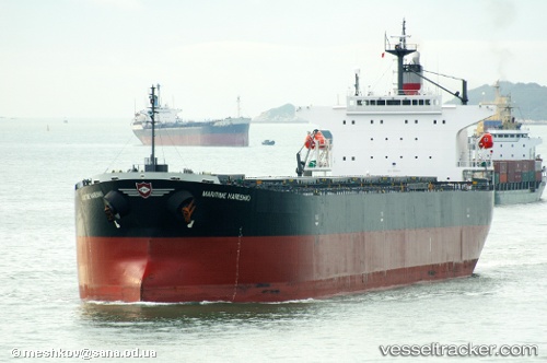
Danae R
Current StatusWhere is the vessel?
Danae R is currently in 189 nm E of Windermere, based on AIS data received less than 1h ago.
Latest AIS update:
Current position: 33.79253° S, 14.73348° W (189 nm E of Windermere)
Average speed (last 7 days): Loading…
Average speed (last 30 days): Loading…
Vessel profile: Danae R is a Bulk Carrier with dimensions 32m x 225m.
This page combines live AIS, route history, probable destination signals, nearby traffic, and port activity for practical vessel monitoring.
The current position of vessel Danae R is -33.79253 lat / -14.73348 lng. Updated: 2026-05-02 19:02:12 UTCDetails:
Live Vessel Danae R Analytics (details, animations, etc.)
Recent AIS points (UTC):
2026-05-02 16:17:00 UTC · -33.77465, -15.36430 · SOG 11.6 kn · COG 99°2026-05-02 16:51:18 UTC · -33.78083, -15.23303 · SOG 11.5 kn · COG 96°
2026-05-02 17:42:02 UTC · -33.78495, -15.03788 · SOG 11.6 kn · COG 96°
2026-05-02 19:02:12 UTC · -33.79253, -14.73348 · SOG 11.4 kn · COG 97°