 vesseltracker.com
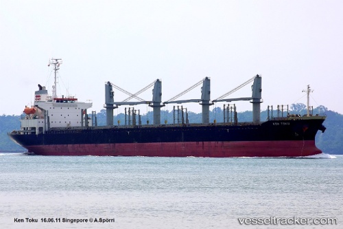
Ken Toku
Current StatusWhere is the vessel?
Ken Toku is currently in 42 nm SE of OSMAN DIGNA, based on AIS data received about 2d ago.
Latest AIS update:
Current position: 18.78177° N, 38.00758° E (42 nm SE of OSMAN DIGNA)
Average speed (last 7 days): Loading…
Average speed (last 30 days): Loading…
Vessel profile: Ken Toku is a Bulk Carrier with dimensions 27m x 170m.
This page combines live AIS, route history, probable destination signals, nearby traffic, and port activity for practical vessel monitoring.
The current position of vessel Ken Toku is 18.78177 lat / 38.00758 lng. Updated: 2026-05-14 22:48:36 UTCNearest reference points:
- Near Port Sudan
- 53 nm SW of SHUAIBAH
- 99 nm SW of Al Qunfudah
Details:
Live Vessel Ken Toku Analytics (details, animations, etc.)
Recent AIS points (UTC):
2026-05-14 22:48:36 UTC · 18.78177, 38.00758 · SOG 0 kn · COG 149°2026-05-14 22:48:36 UTC · 18.78177, 38.00758 · SOG 0 kn · COG 149°
2026-05-14 22:48:36 UTC · 18.78177, 38.00758 · SOG 0 kn · COG 149°
2026-05-14 22:48:36 UTC · 18.78177, 38.00758 · SOG 0 kn · COG 149°