 vesseltracker.com
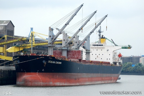
 OCEAN CROWN
Current Status
Where is the vessel?
OCEAN CROWN is currently in 117 nm W of Ban Talat Takua Pa, based on AIS data received about 1h ago.
Latest AIS update:
Current position: 9.07833° N, 96.41667° E (117 nm W of Ban Talat Takua Pa)
Average speed (last 7 days): Loading…
Average speed (last 30 days): Loading…
Vessel profile: OCEAN CROWN is a Bulk Carrier with dimensions m x m.
This page combines live AIS, route history, probable destination signals, nearby traffic, and port activity for practical vessel monitoring.
The current position of vessel OCEAN CROWN is 9.07833 lat / 96.41667 lng. Updated: 2026-05-14 11:38:10 UTCNearest reference points:
- 175 nm W of Ranong Apt
- 126 nm S of Yetagun Field
- 10 nm SW of Phuket International Apt
Currently sailing under the flag of Marshall Islands ![]()
Details:
Live Vessel OCEAN CROWN Analytics (details, animations, etc.)
Recent AIS points (UTC):
2026-05-14 07:42:44 UTC · 8.49833, 96.80500 · SOG 10 kn · COG -1°2026-05-14 09:49:28 UTC · 8.81667, 96.59667 · SOG 10 kn · COG -1°
2026-05-14 10:31:41 UTC · 8.91833, 96.52500 · SOG 10 kn · COG -1°
2026-05-14 11:38:10 UTC · 9.07833, 96.41667 · SOG 10 kn · COG -1°