 vesseltracker.com
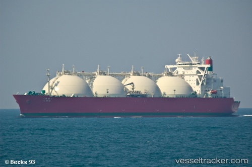
Ibri Lng
Current StatusWhere is the vessel?
Ibri Lng is currently in 114 nm NE of Dai Hung (Tandem Load), based on AIS data received about 114d ago.
Latest AIS update:
Current position: 9.44089° N, 110.32654° E (114 nm NE of Dai Hung (Tandem Load))
Average speed (last 7 days): Loading…
Average speed (last 30 days): Loading…
Vessel profile: Ibri Lng is a Lng Tanker with dimensions 49m x 289m.
This page combines live AIS, route history, probable destination signals, nearby traffic, and port activity for practical vessel monitoring.
The current position of vessel Ibri Lng is 9.44089 lat / 110.32654 lng. Updated: 2026-01-21 14:00:50 UTCNearest reference points:
- 156 nm SE of Phan Rang-Tháp Chàm
- Near Rang Dong
- 163 nm E of Vinh Cam Ranh
Details:
Live Vessel Ibri Lng Analytics (details, animations, etc.)
Recent AIS points (UTC):
2026-01-21 14:00:50 UTC · 9.44089, 110.32654 · SOG 14.3 kn · COG 224°