 vesseltracker.com
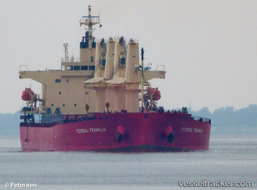
 Sea Fortress
Current Status
Where is the vessel?
Sea Fortress is currently in Near Botlek, based on AIS data received about 1h ago.
Latest AIS update:
Current position: 51.88960° N, 4.27553° E (Near Botlek)
Average speed (last 7 days): Loading…
Average speed (last 30 days): Loading…
Vessel profile: Sea Fortress is a Bulk Carrier with dimensions 190m x 32m.
This page combines live AIS, route history, probable destination signals, nearby traffic, and port activity for practical vessel monitoring.
The current position of vessel Sea Fortress is 51.88960 lat / 4.27553 lng. Updated: 2026-05-01 17:48:22 UTCNearest reference points:
- Near Botlek
- Near BOTLEK - ROTTERDAM
- Near Maassluis
Currently sailing under the flag of Marshall Is ![]()
Sea Fortress built in 2008 year
Deadweight:
55303 tDetails:
Live Vessel Sea Fortress Analytics (details, animations, etc.)
Recent AIS points (UTC):
2026-05-01 13:30:19 UTC · 51.88960, 4.27553 · SOG 0 kn · COG 156°2026-05-01 13:54:18 UTC · 51.88961, 4.27552 · SOG 0 kn · COG 155°
2026-05-01 15:54:20 UTC · 51.88959, 4.27554 · SOG 0 kn · COG 155°
2026-05-01 17:48:22 UTC · 51.88960, 4.27553 · SOG 0 kn · COG 155°