 vesseltracker.com
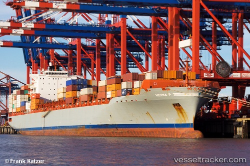
 MSC TAMPA
Current Status
Where is the vessel?
MSC TAMPA is currently in 98 nm NE of Lü-hua Shan, based on AIS data received about 1h ago.
Latest AIS update:
Current position: 31.60824° N, 124.28251° E (98 nm NE of Lü-hua Shan)
Average speed (last 7 days): Loading…
Average speed (last 30 days): Loading…
Vessel profile: MSC TAMPA is a Container Ship with dimensions 32m x 294m.
This page combines live AIS, route history, probable destination signals, nearby traffic, and port activity for practical vessel monitoring.
The current position of vessel MSC TAMPA is 31.60824 lat / 124.28251 lng. Updated: 2026-05-02 07:28:27 UTCNearest reference points:
- 97 nm E of Lü-hua Shan
- 116 nm E of Lü-hua Shan
- 117 nm NE of Jingjiang
Currently sailing under the flag of Liberia ![]()
MSC TAMPA built in 2006 year
Deadweight:
66583 tDetails:
Live Vessel MSC TAMPA Analytics (details, animations, etc.)
Recent AIS points (UTC):
2026-05-02 04:05:04 UTC · 31.94733, 124.46906 · SOG 3.1 kn · COG 162°2026-05-02 06:07:14 UTC · 31.78348, 124.36517 · SOG 8.8 kn · COG 224°
2026-05-02 07:23:19 UTC · 31.61997, 124.28952 · SOG 9.3 kn · COG 208°
2026-05-02 07:28:27 UTC · 31.60824, 124.28251 · SOG 9.1 kn · COG 217°