 vesseltracker.com
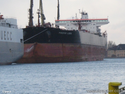
 Minerva Libra
Current Status
Where is the vessel?
Minerva Libra is currently in 22 nm W of Kalana, based on AIS data received less than 1h ago.
Latest AIS update:
Current position: 58.79583° N, 21.38518° E (22 nm W of Kalana)
Average speed (last 7 days): Loading…
Average speed (last 30 days): Loading…
Vessel profile: Minerva Libra is a Crude Oil Tanker with dimensions 250m x 44m.
This page combines live AIS, route history, probable destination signals, nearby traffic, and port activity for practical vessel monitoring.
The current position of vessel Minerva Libra is 58.79583 lat / 21.38518 lng. Updated: 2026-05-13 19:15:26 UTCNearest reference points:
- 20 nm W of Kalana
- 37 nm W of Vikati Sadam
- 18 nm N of Ventspils
Currently sailing under the flag of Malta ![]()
Minerva Libra built in 2007 year
Deadweight:
116779 tDetails:
Live Vessel Minerva Libra Analytics (details, animations, etc.)
Recent AIS points (UTC):
2026-05-13 16:25:18 UTC · 58.27515, 20.72252 · SOG 13.6 kn · COG 36°2026-05-13 17:08:46 UTC · 58.40857, 20.89671 · SOG 13.3 kn · COG 35°
2026-05-13 18:17:48 UTC · 58.62287, 21.16794 · SOG 13.3 kn · COG 34°
2026-05-13 19:15:26 UTC · 58.79583, 21.38518 · SOG 12.5 kn · COG 35°