 vesseltracker.com
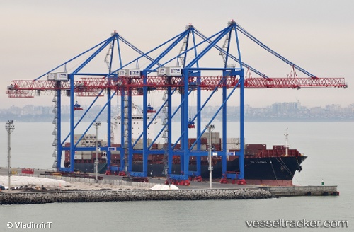
 X Press Kilimanjaro
Current Status
Where is the vessel?
X Press Kilimanjaro is currently in 18 nm S of Sheet Harbour, based on AIS data received less than 1h ago.
Latest AIS update:
Current position: 44.63832° N, 62.49001° W (18 nm S of Sheet Harbour)
Average speed (last 7 days): Loading…
Average speed (last 30 days): Loading…
Vessel profile: X Press Kilimanjaro is a Container Ship with dimensions 261m x 32m.
This page combines live AIS, route history, probable destination signals, nearby traffic, and port activity for practical vessel monitoring.
The current position of vessel X Press Kilimanjaro is 44.63832 lat / -62.49001 lng. Updated: 2026-05-02 11:57:08 UTCNearest reference points:
- 20 nm S of Head of Jeddore
- 31 nm SE of Bald Rock
- Near Goldboro
Currently sailing under the flag of Liberia ![]()
X Press Kilimanjaro built in 2006 year
Deadweight:
50689 tDetails:
Live Vessel X Press Kilimanjaro Analytics (details, animations, etc.)
Recent AIS points (UTC):
2026-05-02 07:53:53 UTC · 44.62671, -63.55990 · SOG 0 kn · COG 145°2026-05-02 09:43:20 UTC · 44.40013, -63.27909 · SOG 16.6 kn · COG 98°
2026-05-02 10:53:50 UTC · 44.51481, -62.85820 · SOG 16.4 kn · COG 64°
2026-05-02 11:57:08 UTC · 44.63832, -62.49001 · SOG 16.4 kn · COG 67°