 vesseltracker.com
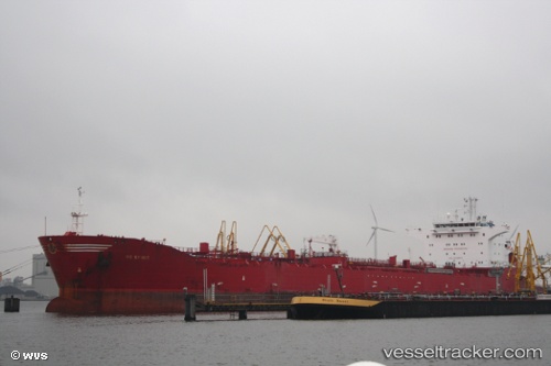
 SAGA
SAGA
Current Status
Where is the vessel?
SAGA is currently in 15 nm N of Palomares del Rio, based on AIS data received less than 1h ago.
Latest AIS update:
Current position: 37.56333° N, 6.03167° E (15 nm N of Palomares del Rio)
Average speed (last 7 days): Loading…
Average speed (last 30 days): Loading…
Vessel profile: SAGA is a Oil/Chemical Tanker with dimensions m x m.
This page combines live AIS, route history, probable destination signals, nearby traffic, and port activity for practical vessel monitoring.
The current position of vessel SAGA is 37.56333 lat / 6.03167 lng. Updated: 2026-05-15 17:31:22 UTCNearest reference points:
- Near Carmona
- Near Skikid
- Near Bejaia
Currently sailing under the flag of Russia ![]()
Details:
Live Vessel SAGA Analytics (details, animations, etc.)
Recent AIS points (UTC):
2026-05-15 13:20:58 UTC · 37.64322, 6.83479 · SOG 9.4 kn · COG 260°2026-05-15 15:25:37 UTC · 37.60271, 6.43746 · SOG 9.1 kn · COG 266°
2026-05-15 16:39:28 UTC · 37.57947, 6.20643 · SOG 9.1 kn · COG 266°
2026-05-15 17:31:22 UTC · 37.56333, 6.03167 · SOG 9 kn · COG -1°