 vesseltracker.com
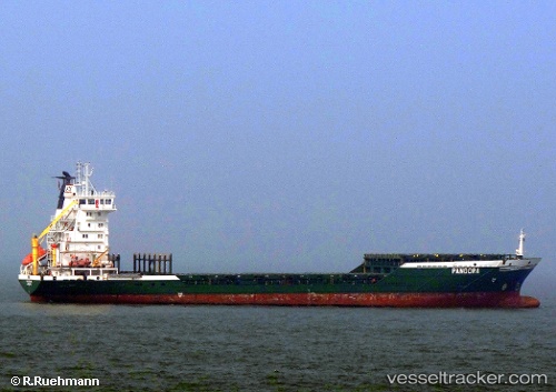
Yangtze Harmony
Current StatusWhere is the vessel?
Yangtze Harmony is currently in Near Longyan Pt, based on AIS data received about 292d ago.
Latest AIS update:
Current position: 37.36674° N, 122.78173° E (Near Longyan Pt)
Average speed (last 7 days): Loading…
Average speed (last 30 days): Loading…
Vessel profile: Yangtze Harmony is a Livestock Carrier with dimensions 19m x 133m.
This page combines live AIS, route history, probable destination signals, nearby traffic, and port activity for practical vessel monitoring.
The current position of vessel Yangtze Harmony is 37.36674 lat / 122.78173 lng. Updated: 2025-07-26 10:11:47 UTCNearest reference points:
- Near Longyan Pt
- 12 nm S of Longyan Pt
- 16 nm NE of Longyan Pt
Details:
Live Vessel Yangtze Harmony Analytics (details, animations, etc.)
Recent AIS points (UTC):
2025-07-26 10:11:47 UTC · 37.36674, 122.78173 · SOG 10.8 kn · COG 190°