 vesseltracker.com
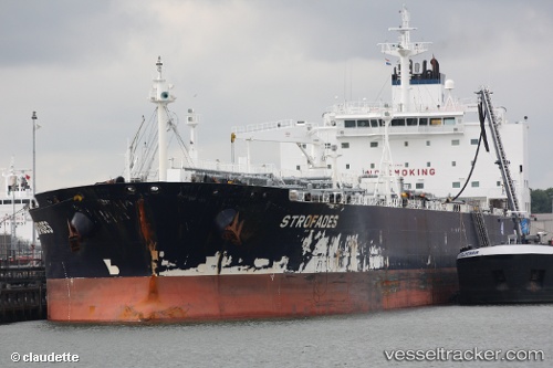
 MARTINI
Current Status
Where is the vessel?
MARTINI is currently in Near JURONG ISLAND, based on AIS data received about 1h ago.
Latest AIS update:
Current position: 1.18840° N, 103.67523° E (Near JURONG ISLAND)
Average speed (last 7 days): Loading…
Average speed (last 30 days): Loading…
Vessel profile: MARTINI is a Crude Oil Tanker with dimensions m x m.
This page combines live AIS, route history, probable destination signals, nearby traffic, and port activity for practical vessel monitoring.
The current position of vessel MARTINI is 1.18840 lat / 103.67523 lng. Updated: 2026-05-14 16:58:52 UTCNearest reference points:
- Near JURONG ISLAND
- Near BUKOM ISLAND
- Near Pulau Ayer Chawan
Currently sailing under the flag of Liberia ![]()
Details:
Live Vessel MARTINI Analytics (details, animations, etc.)
Recent AIS points (UTC):
2026-05-14 13:27:19 UTC · 1.28223, 103.93005 · SOG 0 kn · COG 107°2026-05-14 14:25:41 UTC · 1.28250, 103.93223 · SOG 1.3 kn · COG 176°
2026-05-14 15:38:20 UTC · 1.19505, 103.83028 · SOG 8.5 kn · COG 245°
2026-05-14 16:58:52 UTC · 1.18840, 103.67523 · SOG 4.4 kn · COG 301°