 vesseltracker.com
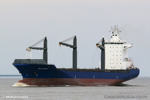
 OEL SURYA
Current Status
Where is the vessel?
OEL SURYA is currently in 35 nm NE of Las Brujas, based on AIS data received less than 1h ago.
Latest AIS update:
Current position: 23.84074° N, 17.72516° W (35 nm NE of Las Brujas)
Average speed (last 7 days): Loading…
Average speed (last 30 days): Loading…
Vessel profile: OEL SURYA is a Container Ship with dimensions m x m.
This page combines live AIS, route history, probable destination signals, nearby traffic, and port activity for practical vessel monitoring.
The current position of vessel OEL SURYA is 23.84074 lat / -17.72516 lng. Updated: 2026-05-14 11:31:11 UTCNearest reference points:
- 68 nm NW of Ad Dakhla
- 110 nm NE of Las Brujas
- Near DAKHLA
Currently sailing under the flag of Panama ![]()
Details:
Live Vessel OEL SURYA Analytics (details, animations, etc.)
Recent AIS points (UTC):
2026-05-14 07:23:15 UTC · 22.97674, -18.10844 · SOG 13.2 kn · COG 21°2026-05-14 09:35:43 UTC · 23.43720, -17.91378 · SOG 13.4 kn · COG 22°
2026-05-14 10:37:12 UTC · 23.65150, -17.81775 · SOG 13.7 kn · COG 23°
2026-05-14 11:31:11 UTC · 23.84074, -17.72516 · SOG 13.9 kn · COG 24°