 vesseltracker.com
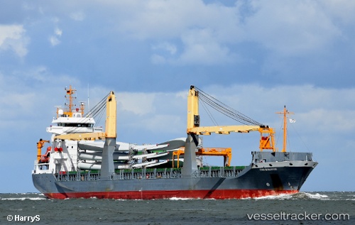
 LADY LAURA
Current Status
Where is the vessel?
LADY LAURA is currently in 48 nm S of CARBONERAS, based on AIS data received about 8h ago.
Latest AIS update:
Current position: 36.22193° N, 1.54802° W (48 nm S of CARBONERAS)
Average speed (last 7 days): Loading…
Average speed (last 30 days): Loading…
Vessel profile: LADY LAURA is a General Cargo with dimensions m x m.
This page combines live AIS, route history, probable destination signals, nearby traffic, and port activity for practical vessel monitoring.
The current position of vessel LADY LAURA is 36.22193 lat / -1.54802 lng. Updated: 2026-05-15 08:55:01 UTCNearest reference points:
- 47 nm SE of CARBONERAS
- 20 nm SE of CARBONERAS
- 27 nm SE of El Alquian
Currently sailing under the flag of Panama ![]()
Details:
Live Vessel LADY LAURA Analytics (details, animations, etc.)
Recent AIS points (UTC):
2026-05-15 08:55:01 UTC · 36.22193, -1.54802 · SOG 9.1 kn · COG 76°2026-05-15 08:55:01 UTC · 36.22193, -1.54802 · SOG 9.1 kn · COG 76°
2026-05-15 08:55:01 UTC · 36.22193, -1.54802 · SOG 9.1 kn · COG 76°
2026-05-15 08:55:01 UTC · 36.22193, -1.54802 · SOG 9.1 kn · COG 76°