 vesseltracker.com
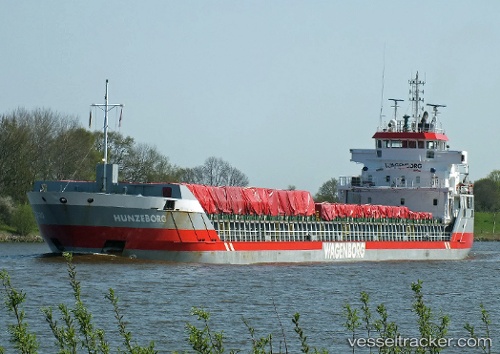
 Stavfjord
Current Status
Where is the vessel?
Stavfjord is currently in Near Nowy Port/Gdansk, based on AIS data received about 2h ago.
Latest AIS update:
Current position: 54.38605° N, 18.67377° E (Near Nowy Port/Gdansk)
Average speed (last 7 days): Loading…
Average speed (last 30 days): Loading…
Vessel profile: Stavfjord is a Multi Purpose Carrier with dimensions 114m x 114m.
This page combines live AIS, route history, probable destination signals, nearby traffic, and port activity for practical vessel monitoring.
The current position of vessel Stavfjord is 54.38605 lat / 18.67377 lng. Updated: 2026-04-30 01:55:44 UTCNearest reference points:
- Near Nowy Port/Gdansk
- Near Górki Zachodnie
- Near Sopot
Currently sailing under the flag of Netherlands ![]()
Stavfjord built in 2005 year
Deadweight:
6100 tDetails:
Live Vessel Stavfjord Analytics (details, animations, etc.)
Recent AIS points (UTC):
2026-04-29 22:10:51 UTC · 54.38605, 18.67377 · SOG 0 kn · COG 166°2026-04-30 00:07:48 UTC · 54.38608, 18.67376 · SOG 0 kn · COG 166°
2026-04-30 01:52:49 UTC · 54.38603, 18.67379 · SOG 0 kn · COG 166°
2026-04-30 01:55:44 UTC · 54.38605, 18.67377 · SOG 0 kn · COG 166°