 vesseltracker.com
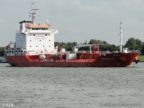
 Mary A
Current Status
Where is the vessel?
Mary A is currently in 22 nm NW of Dunkerque, based on AIS data received less than 1h ago.
Latest AIS update:
Current position: 51.38392° N, 2.12725° E (22 nm NW of Dunkerque)
Average speed (last 7 days): Loading…
Average speed (last 30 days): Loading…
Vessel profile: Mary A is a Chemical Oil Products Tanker with dimensions 113m x 113m.
This page combines live AIS, route history, probable destination signals, nearby traffic, and port activity for practical vessel monitoring.
The current position of vessel Mary A is 51.38392 lat / 2.12725 lng. Updated: 2026-05-14 17:26:01 UTCNearest reference points:
- 15 nm E of RAMSGATE
- Near Dunkerque
- 14 nm SE of RAMSGATE
Currently sailing under the flag of Italy ![]()
Mary A built in 2007 year
Deadweight:
8084 tDetails:
Live Vessel Mary A Analytics (details, animations, etc.)
Recent AIS points (UTC):
2026-05-14 14:09:20 UTC · 51.38833, 2.97342 · SOG 12.5 kn · COG 241°2026-05-14 16:08:29 UTC · 51.35051, 2.36100 · SOG 8.6 kn · COG 257°
2026-05-14 16:18:00 UTC · 51.34405, 2.32951 · SOG 7.9 kn · COG 258°
2026-05-14 17:26:01 UTC · 51.38392, 2.12725 · SOG 7.2 kn · COG 317°