 vesseltracker.com
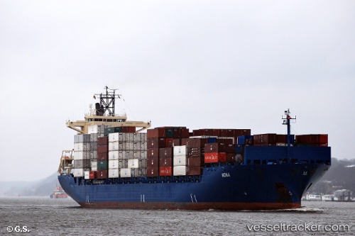
 TURKON RIZE
Current Status
Where is the vessel?
TURKON RIZE is currently in 55 nm SW of DUBA, based on AIS data received about 2h ago.
Latest AIS update:
Current position: 26.71871° N, 35.14290° E (55 nm SW of DUBA)
Average speed (last 7 days): Loading…
Average speed (last 30 days): Loading…
Vessel profile: TURKON RIZE is a Container Ship with dimensions m x m.
This page combines live AIS, route history, probable destination signals, nearby traffic, and port activity for practical vessel monitoring.
The current position of vessel TURKON RIZE is 26.71871 lat / 35.14290 lng. Updated: 2026-05-12 18:20:17 UTCNearest reference points:
- Near DUBA
- Near Bur Safaga
- 15 nm SW of Al Khuraibah
Currently sailing under the flag of Turkey ![]()
Details:
Live Vessel TURKON RIZE Analytics (details, animations, etc.)
Recent AIS points (UTC):
2026-05-12 14:31:55 UTC · 26.09181, 35.53027 · SOG 10.9 kn · COG 328°2026-05-12 14:31:55 UTC · 26.09181, 35.53027 · SOG 10.9 kn · COG 328°
2026-05-12 18:20:17 UTC · 26.71871, 35.14290 · SOG 11.5 kn · COG 332°
2026-05-12 18:20:17 UTC · 26.71871, 35.14290 · SOG 11.5 kn · COG 332°