 vesseltracker.com
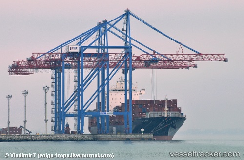
 SHEKOU STAR
Current Status
Where is the vessel?
SHEKOU STAR is currently in 90 nm W of Saint Louis, based on AIS data received about 1h ago.
Latest AIS update:
Current position: 16.41823° N, 17.99994° W (90 nm W of Saint Louis)
Average speed (last 7 days): Loading…
Average speed (last 30 days): Loading…
Vessel profile: SHEKOU STAR is a Container Ship with dimensions m x m.
This page combines live AIS, route history, probable destination signals, nearby traffic, and port activity for practical vessel monitoring.
The current position of vessel SHEKOU STAR is 16.41823 lat / -17.99994 lng. Updated: 2026-05-14 04:13:36 UTCNearest reference points:
- 100 nm NW of Saint Louis
- Near Dakar
- 119 nm W of Nouakchott
Currently sailing under the flag of Marshall Islands ![]()
Details:
Live Vessel SHEKOU STAR Analytics (details, animations, etc.)
Recent AIS points (UTC):
2026-05-14 01:34:35 UTC · 15.76544, -17.99913 · SOG 14.7 kn · COG 0°2026-05-14 01:52:12 UTC · 15.83842, -17.99826 · SOG 14.7 kn · COG 1°
2026-05-14 03:22:13 UTC · 16.20880, -18.00164 · SOG 14.8 kn · COG 2°
2026-05-14 04:13:36 UTC · 16.41823, -17.99994 · SOG 14.4 kn · COG 3°