 vesseltracker.com
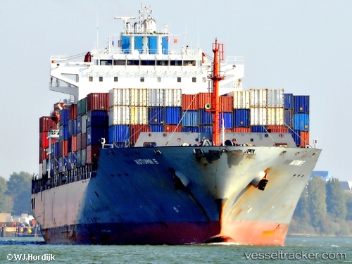
 CMA CGM ALIAGA
Current Status
Where is the vessel?
CMA CGM ALIAGA is currently in 36 nm NW of Manta, based on AIS data received about 1h ago.
Latest AIS update:
Current position: 0.51333° S, 81.15069° W (36 nm NW of Manta)
Average speed (last 7 days): Loading…
Average speed (last 30 days): Loading…
Vessel profile: CMA CGM ALIAGA is a Container Ship with dimensions 246m x 32m.
This page combines live AIS, route history, probable destination signals, nearby traffic, and port activity for practical vessel monitoring.
The current position of vessel CMA CGM ALIAGA is -0.51333 lat / -81.15069 lng. Updated: 2026-03-29 19:35:02 UTCNearest reference points:
- 22 nm W of Bahía de Caráquez
- Near MANTA
- Near La Libertad
Currently sailing under the flag of Malta ![]()
CMA CGM ALIAGA built in 2008 year
Deadweight:
46309 tDetails:
Live Vessel CMA CGM ALIAGA Analytics (details, animations, etc.)
Recent AIS points (UTC):
2026-03-29 13:50:26 UTC · -2.10726, -81.39445 · SOG 17.4 kn · COG 344°2026-03-29 15:34:22 UTC · -1.63083, -81.39882 · SOG 16.6 kn · COG 14°
2026-03-29 17:54:33 UTC · -0.98010, -81.25665 · SOG 17.2 kn · COG 15°
2026-03-29 19:35:02 UTC · -0.51333, -81.15069 · SOG 17.1 kn · COG 17°