 vesseltracker.com
 TURUL
TURUL
Current Status
Where is the vessel?
TURUL is currently in 78 nm NW of Eisken, based on AIS data received about 2h ago.
Latest AIS update:
Current position: 59.15613° N, 8.78408° W (78 nm NW of Eisken)
Average speed (last 7 days): Loading…
Average speed (last 30 days): Loading…
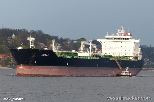
Vessel profile: TURUL is a Oil/Chemical Tanker with dimensions m x m.
This page combines live AIS, route history, probable destination signals, nearby traffic, and port activity for practical vessel monitoring.
The current position of vessel TURUL is 59.15613 lat / -8.78408 lng. Updated: 2026-05-14 19:28:37 UTCNearest reference points:
- Near North Harris
- 20 nm S of Vágur
Currently sailing under the flag of Panama ![]()
Details:
Live Vessel TURUL Analytics (details, animations, etc.)
Recent AIS points (UTC):
2026-05-14 16:31:56 UTC · 59.53639, -8.08387 · SOG 10.6 kn · COG 224°2026-05-14 17:35:56 UTC · 59.40128, -8.33729 · SOG 10.7 kn · COG 222°
2026-05-14 19:09:48 UTC · 59.19694, -8.70753 · SOG 10.7 kn · COG 228°
2026-05-14 19:28:37 UTC · 59.15613, -8.78408 · SOG 10.6 kn · COG 227°