 vesseltracker.com
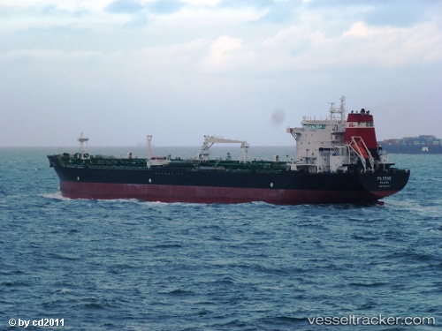
 CHARIOT TIDE
Current Status
Where is the vessel?
CHARIOT TIDE is currently in 14 nm NW of Bartin, based on AIS data received about 13d ago.
Latest AIS update:
Current position: 41.77562° N, 31.94975° E (14 nm NW of Bartin)
Average speed (last 7 days): Loading…
Average speed (last 30 days): Loading…
Vessel profile: CHARIOT TIDE is a Oil/Chemical Tanker with dimensions m x m.
This page combines live AIS, route history, probable destination signals, nearby traffic, and port activity for practical vessel monitoring.
The current position of vessel CHARIOT TIDE is 41.77562 lat / 31.94975 lng. Updated: 2026-05-03 16:05:39 UTCNearest reference points:
- Near Erdemir
- Near Cide
- 27 nm NW of INEBOLU
Currently sailing under the flag of Myanmar ![]()
Details:
Live Vessel CHARIOT TIDE Analytics (details, animations, etc.)
Recent AIS points (UTC):
2026-05-03 16:05:39 UTC · 41.77562, 31.94975 · SOG 7.8 kn · COG 58°2026-05-03 16:05:39 UTC · 41.77562, 31.94975 · SOG 7.8 kn · COG 58°
2026-05-03 16:05:39 UTC · 41.77562, 31.94975 · SOG 7.8 kn · COG 58°
2026-05-03 16:05:39 UTC · 41.77562, 31.94975 · SOG 7.8 kn · COG 58°