 vesseltracker.com
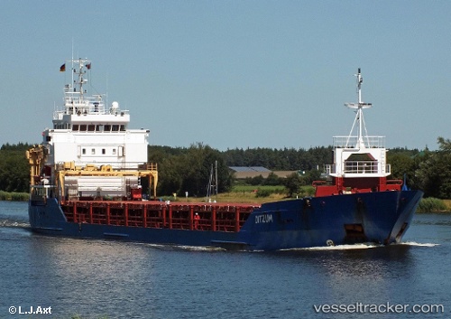
 Ditzum
Current Status
Where is the vessel?
Ditzum is currently in Near Madras, based on AIS data received about 1h ago.
Latest AIS update:
Current position: 13.09063° N, 80.35460° E (Near Madras)
Average speed (last 7 days): Loading…
Average speed (last 30 days): Loading…
Vessel profile: Ditzum is a Multi Purpose Carrier with dimensions 99m x 14m.
This page combines live AIS, route history, probable destination signals, nearby traffic, and port activity for practical vessel monitoring.
The current position of vessel Ditzum is 13.09063 lat / 80.35460 lng. Updated: 2026-03-26 06:12:47 UTCNearest reference points:
- Near Chennai (ex Madras)
- Near Madras
- 17 nm NE of Nandiambakkam
Currently sailing under the flag of Gibraltar ![]()
Ditzum built in 2005 year
Deadweight:
4512 tDetails:
Live Vessel Ditzum Analytics (details, animations, etc.)
Recent AIS points (UTC):
2026-03-26 00:00:49 UTC · 13.09068, 80.35477 · SOG 0.5 kn · COG 171°2026-03-26 01:45:48 UTC · 13.09068, 80.35479 · SOG 0.1 kn · COG 177°
2026-03-26 04:00:47 UTC · 13.09069, 80.35477 · SOG 0.2 kn · COG 178°
2026-03-26 06:12:47 UTC · 13.09063, 80.35460 · SOG 0.1 kn · COG 167°