 vesseltracker.com
 NOZO
NOZO
Current Status
Where is the vessel?
NOZO is currently in 29 nm W of Uglegorsk, based on AIS data received less than 1h ago.
Latest AIS update:
Current position: 49.18167° N, 141.29333° E (29 nm W of Uglegorsk)
Average speed (last 7 days): Loading…
Average speed (last 30 days): Loading…
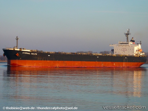
Vessel profile: NOZO is a Bulk Carrier with dimensions m x m.
This page combines live AIS, route history, probable destination signals, nearby traffic, and port activity for practical vessel monitoring.
The current position of vessel NOZO is 49.18167 lat / 141.29333 lng. Updated: 2026-05-16 11:40:09 UTCNearest reference points:
- Near Uglegorsk
- 38 nm SE of Sovetskaya Gavan
- 45 nm S of Sovetskaya Gavan
Currently sailing under the flag of Panama ![]()
Details:
Live Vessel NOZO Analytics (details, animations, etc.)
Recent AIS points (UTC):
2026-05-16 08:06:56 UTC · 49.27333, 141.63667 · SOG 0 kn · COG -1°2026-05-16 09:36:57 UTC · 49.18333, 141.43333 · SOG 10 kn · COG -1°
2026-05-16 10:49:00 UTC · 49.16667, 141.30833 · SOG 1 kn · COG -1°
2026-05-16 11:40:09 UTC · 49.18167, 141.29333 · SOG 1 kn · COG -1°