 vesseltracker.com
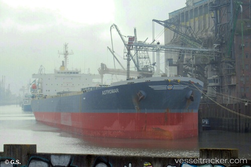
 TISSA
TISSA
Current Status
Where is the vessel?
TISSA is currently in Near Tianjin Pt, based on AIS data received about 1h ago.
Latest AIS update:
Current position: 38.95913° N, 117.86027° E (Near Tianjin Pt)
Average speed (last 7 days): Loading…
Average speed (last 30 days): Loading…
Vessel profile: TISSA is a Bulk Carrier with dimensions m x m.
This page combines live AIS, route history, probable destination signals, nearby traffic, and port activity for practical vessel monitoring.
The current position of vessel TISSA is 38.95913 lat / 117.86027 lng. Updated: 2026-05-14 20:18:16 UTCNearest reference points:
- Near Tianjin Pt
- Near Dagu Bar
- Near Tianjin Xingang Pt
Currently sailing under the flag of Guinea ![]()
Details:
Live Vessel TISSA Analytics (details, animations, etc.)
Recent AIS points (UTC):
2026-05-14 17:00:16 UTC · 38.98040, 117.75768 · SOG 0 kn · COG 3°2026-05-14 18:08:18 UTC · 38.98038, 117.75773 · SOG 0 kn · COG 3°
2026-05-14 19:12:27 UTC · 38.98042, 117.75767 · SOG 0 kn · COG 3°
2026-05-14 20:18:16 UTC · 38.95913, 117.86027 · SOG 11.3 kn · COG 100°