 vesseltracker.com
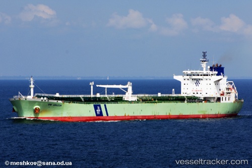
 KRITI STATE
Current Status
Where is the vessel?
KRITI STATE is currently in 14 nm SW of Wadduwa, based on AIS data received about 1h ago.
Latest AIS update:
Current position: 6.51837° N, 79.72862° E (14 nm SW of Wadduwa)
Average speed (last 7 days): Loading…
Average speed (last 30 days): Loading…
Vessel profile: KRITI STATE is a Oil Products Tanker with dimensions 228m x 228m.
This page combines live AIS, route history, probable destination signals, nearby traffic, and port activity for practical vessel monitoring.
The current position of vessel KRITI STATE is 6.51837 lat / 79.72862 lng. Updated: 2026-05-14 10:26:57 UTCNearest reference points:
- 19 nm SW of Bataduwa
- 38 nm SW of Galle
- 67 nm SW of Moratuwa
Currently sailing under the flag of Liberia ![]()
KRITI STATE built in 2006 year
Deadweight:
76565 tDetails:
Live Vessel KRITI STATE Analytics (details, animations, etc.)
Recent AIS points (UTC):
2026-05-14 07:54:56 UTC · 6.51898, 79.72835 · SOG 0.1 kn · COG 247°2026-05-14 08:10:09 UTC · 6.51896, 79.72832 · SOG 0.1 kn · COG 251°
2026-05-14 09:53:28 UTC · 6.51867, 79.72853 · SOG 0.1 kn · COG 255°
2026-05-14 10:26:57 UTC · 6.51837, 79.72862 · SOG 0.4 kn · COG 253°