 vesseltracker.com
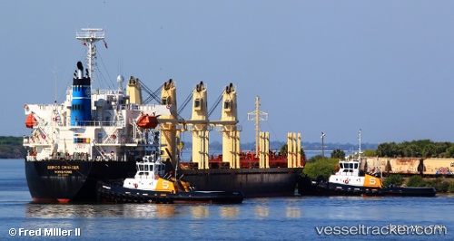
 NADEEN
Current Status
Where is the vessel?
NADEEN is currently in Near Abu Musa, based on AIS data received about 2h ago.
Latest AIS update:
Current position: 25.76777° N, 55.01222° E (Near Abu Musa)
Average speed (last 7 days): Loading…
Average speed (last 30 days): Loading…
Vessel profile: NADEEN is a Bulk Carrier with dimensions 28m x 170m.
This page combines live AIS, route history, probable destination signals, nearby traffic, and port activity for practical vessel monitoring.
The current position of vessel NADEEN is 25.76777 lat / 55.01222 lng. Updated: 2026-05-14 09:07:03 UTCNearest reference points:
- 17 nm NW of Free Port
- Near Sharjah
- Near Free Port
Currently sailing under the flag of St Vincent and Grenadines ![]()
NADEEN built in 2005 year
Deadweight:
28398 tDetails:
Live Vessel NADEEN Analytics (details, animations, etc.)
Recent AIS points (UTC):
2026-05-14 08:18:14 UTC · 25.76744, 55.01224 · SOG 0.5 kn · COG 284°2026-05-14 09:07:03 UTC · 25.76777, 55.01222 · SOG 0.6 kn · COG 265°
2026-05-14 09:07:03 UTC · 25.76777, 55.01222 · SOG 0.6 kn · COG 265°
2026-05-14 09:07:03 UTC · 25.76777, 55.01222 · SOG 0.6 kn · COG 265°