 vesseltracker.com
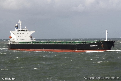
Marinicki
Current StatusWhere is the vessel?
Marinicki is currently in 60 nm SW of Calatagan, based on AIS data received about 1h ago.
Latest AIS update:
Current position: 13.02357° N, 120.01853° E (60 nm SW of Calatagan)
Average speed (last 7 days): Loading…
Average speed (last 30 days): Loading…
Vessel profile: Marinicki is a Bulk Carrier with dimensions 32m x 225m.
This page combines live AIS, route history, probable destination signals, nearby traffic, and port activity for practical vessel monitoring.
The current position of vessel Marinicki is 13.02357 lat / 120.01853 lng. Updated: 2026-05-13 21:12:14 UTCNearest reference points:
- 19 nm NE of CORON
- Near Nasugbu, Luzon
- Near Lobo
Details:
Live Vessel Marinicki Analytics (details, animations, etc.)
Recent AIS points (UTC):
2026-05-13 19:24:55 UTC · 12.78983, 120.17603 · SOG 9.1 kn · COG 328°2026-05-13 19:50:02 UTC · 12.84402, 120.14102 · SOG 9.3 kn · COG 328°
2026-05-13 21:12:14 UTC · 13.02357, 120.01853 · SOG 9.4 kn · COG 319°
2026-05-13 21:12:14 UTC · 13.02357, 120.01853 · SOG 9.4 kn · COG 319°