 vesseltracker.com
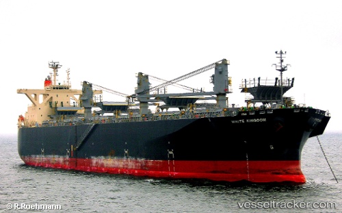
White Kingdom
Current StatusWhere is the vessel?
White Kingdom is currently in 49 nm NE of KIJANG, based on AIS data received less than 1h ago.
Latest AIS update:
Current position: 1.17760° N, 105.35895° E (49 nm NE of KIJANG)
Average speed (last 7 days): Loading…
Average speed (last 30 days): Loading…
Vessel profile: White Kingdom is a Wood Chips Carrier with dimensions 37m x 203m.
This page combines live AIS, route history, probable destination signals, nearby traffic, and port activity for practical vessel monitoring.
The current position of vessel White Kingdom is 1.17760 lat / 105.35895 lng. Updated: 2026-05-14 12:06:15 UTCNearest reference points:
- 76 nm NE of KIJANG
- 47 nm NE of PENGERANG
- 38 nm E of PENGERANG
Details:
Live Vessel White Kingdom Analytics (details, animations, etc.)
Recent AIS points (UTC):
2026-05-14 07:56:33 UTC · 0.37990, 105.40941 · SOG 10.9 kn · COG 350°2026-05-14 09:11:22 UTC · 0.63315, 105.39041 · SOG 13.3 kn · COG 357°
2026-05-14 09:24:46 UTC · 0.68281, 105.38716 · SOG 13.3 kn · COG 357°
2026-05-14 12:06:15 UTC · 1.17760, 105.35895 · SOG 10.5 kn · COG 0°