 vesseltracker.com
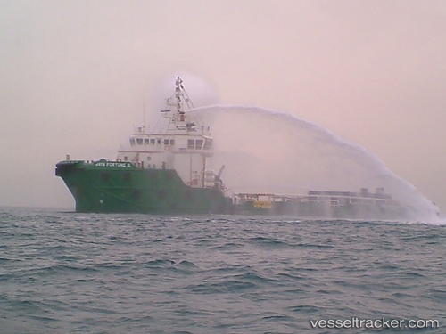
Logindo Servewell S
Current StatusWhere is the vessel?
Logindo Servewell S is currently in Near Belida Terminal, based on AIS data received about 1h ago.
Latest AIS update:
Current position: 4.12926° N, 105.11231° E (Near Belida Terminal)
Average speed (last 7 days): Loading…
Average speed (last 30 days): Loading…
Vessel profile: Logindo Servewell S is a Offshore Tug Supply Ship with dimensions 14m x 57m.
This page combines live AIS, route history, probable destination signals, nearby traffic, and port activity for practical vessel monitoring.
The current position of vessel Logindo Servewell S is 4.12926 lat / 105.11231 lng. Updated: 2026-05-15 11:34:02 UTCNearest reference points:
- 26 nm E of Belida Terminal
- 39 nm SE of Belida Terminal
- 30 nm SW of Belanak Terminal
Details:
Live Vessel Logindo Servewell S Analytics (details, animations, etc.)
Recent AIS points (UTC):
2026-05-15 08:20:12 UTC · 4.12861, 105.08259 · SOG 1.4 kn · COG -1°2026-05-15 10:11:32 UTC · 4.12167, 105.10167 · SOG 1 kn · COG -1°
2026-05-15 10:53:30 UTC · 4.11333, 105.10833 · SOG 1 kn · COG -1°
2026-05-15 11:34:02 UTC · 4.12926, 105.11231 · SOG 1.3 kn · COG -1°