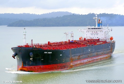
 STAR MERLIN
Current Status
Where is the vessel?
STAR MERLIN is currently in 118 nm NW of Amini Island, based on AIS data received about 19h ago.
Latest AIS update:
Current position: 11.97439° N, 70.93587° E (118 nm NW of Amini Island)
Average speed (last 7 days): Loading…
Average speed (last 30 days): Loading…
Vessel profile: STAR MERLIN is a Oil Products Tanker with dimensions m x m.
This page combines live AIS, route history, probable destination signals, nearby traffic, and port activity for practical vessel monitoring.
The current position of vessel STAR MERLIN is 11.97439 lat / 70.93587 lng. Updated: 2026-05-23 15:54:07 UTCNearest reference points:
- 202 nm NW of Amini Island
- 130 nm W of Lakshadweep
- 13 nm NW of Lakshadweep
Currently sailing under the flag of Barbados ![]()
Details:
Live Vessel STAR MERLIN Analytics (details, animations, etc.)
Recent AIS points (UTC):
2026-05-23 15:54:07 UTC · 11.97439, 70.93587 · SOG 2.9 kn · COG 330°2026-05-23 15:54:07 UTC · 11.97439, 70.93587 · SOG 2.9 kn · COG 330°
2026-05-23 15:54:07 UTC · 11.97439, 70.93587 · SOG 2.9 kn · COG 330°
2026-05-23 15:54:07 UTC · 11.97439, 70.93587 · SOG 2.9 kn · COG 330°