 vesseltracker.com
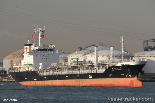
 IRENA XVII
Current Status
Where is the vessel?
IRENA XVII is currently in Near BAUBAU, based on AIS data received less than 1h ago.
Latest AIS update:
Current position: 5.45315° S, 122.62451° E (Near BAUBAU)
Average speed (last 7 days): Loading…
Average speed (last 30 days): Loading…
Vessel profile: IRENA XVII is a Tanker with dimensions m x m.
This page combines live AIS, route history, probable destination signals, nearby traffic, and port activity for practical vessel monitoring.
The current position of vessel IRENA XVII is -5.45315 lat / 122.62451 lng. Updated: 2026-05-14 21:26:46 UTCNearest reference points:
- Near BAUBAU
- Near Labuan
- 13 nm S of KOLAKA
Currently sailing under the flag of Indonesia ![]()
Details:
Live Vessel IRENA XVII Analytics (details, animations, etc.)
Recent AIS points (UTC):
2026-05-14 17:38:15 UTC · -5.45341, 122.62299 · SOG 0 kn · COG 96°2026-05-14 19:30:37 UTC · -5.45409, 122.62438 · SOG 0 kn · COG 308°
2026-05-14 19:57:56 UTC · -5.45349, 122.62459 · SOG 0 kn · COG 258°
2026-05-14 21:26:46 UTC · -5.45315, 122.62451 · SOG 0 kn · COG 230°