 vesseltracker.com
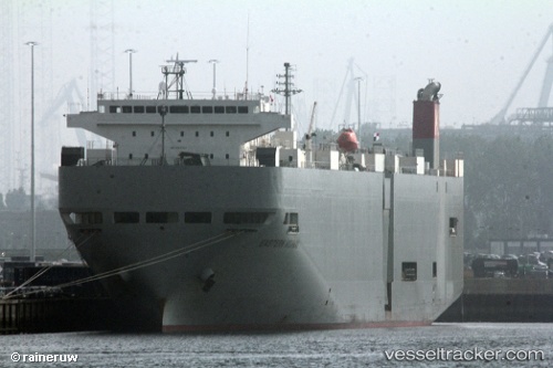
Western Highway
Current StatusWhere is the vessel?
Western Highway is currently in 116 nm N of Margonin, based on AIS data received less than 1h ago.
Latest AIS update:
Current position: 54.88237° N, 176.41255° E (116 nm N of Margonin)
Average speed (last 7 days): Loading…
Average speed (last 30 days): Loading…
Vessel profile: Western Highway is a Vehicles Carrier with dimensions 28m x 188m.
This page combines live AIS, route history, probable destination signals, nearby traffic, and port activity for practical vessel monitoring.
The current position of vessel Western Highway is 54.88237 lat / 176.41255 lng. Updated: 2026-05-14 06:36:19 UTCNearest reference points:
- 87 nm NE of Margonin
Details:
Live Vessel Western Highway Analytics (details, animations, etc.)
Recent AIS points (UTC):
2026-05-14 02:12:58 UTC · 54.98120, 178.53043 · SOG 16.5 kn · COG 267°2026-05-14 04:19:22 UTC · 54.93500, 177.51862 · SOG 16.8 kn · COG 265°
2026-05-14 04:54:21 UTC · 54.91995, 177.23233 · SOG 17 kn · COG 265°
2026-05-14 06:36:19 UTC · 54.88237, 176.41255 · SOG 16.4 kn · COG 266°