 vesseltracker.com
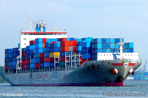
Wan Hai 509
Current StatusWhere is the vessel?
Wan Hai 509 is currently in Near Tianjin Pt, based on AIS data received less than 1h ago.
Latest AIS update:
Current position: 38.98336° N, 117.78166° E (Near Tianjin Pt)
Average speed (last 7 days): Loading…
Average speed (last 30 days): Loading…
Vessel profile: Wan Hai 509 is a Container Ship with dimensions 32m x 268m.
This page combines live AIS, route history, probable destination signals, nearby traffic, and port activity for practical vessel monitoring.
The current position of vessel Wan Hai 509 is 38.98336 lat / 117.78166 lng. Updated: 2026-05-17 12:05:43 UTCNearest reference points:
- Near Tianjin Pt
- Near Tianjin Xingang Pt
- Near Dagu
Details:
Live Vessel Wan Hai 509 Analytics (details, animations, etc.)
Recent AIS points (UTC):
2026-05-17 08:20:44 UTC · 38.98329, 117.78159 · SOG 0 kn · COG 310°2026-05-17 09:29:44 UTC · 38.98335, 117.78156 · SOG 0 kn · COG 310°
2026-05-17 10:05:44 UTC · 38.98327, 117.78161 · SOG 0 kn · COG 310°
2026-05-17 12:05:43 UTC · 38.98336, 117.78166 · SOG 0 kn · COG 310°