 vesseltracker.com
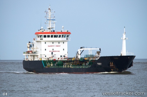
 TROY
TROY
Current Status
Where is the vessel?
TROY is currently in Near Bembridge, based on AIS data received about 1h ago.
Latest AIS update:
Current position: 50.70891° N, 1.05081° W (Near Bembridge)
Average speed (last 7 days): Loading…
Average speed (last 30 days): Loading…
Vessel profile: TROY is a Chemical/Oil Products Tanker with dimensions 93m x 14m.
This page combines live AIS, route history, probable destination signals, nearby traffic, and port activity for practical vessel monitoring.
The current position of vessel TROY is 50.70891 lat / -1.05081 lng. Updated: 2026-05-18 05:47:58 UTCNearest reference points:
- Near EASTNEY
- Near GOSPORT
- Near Portsmouth
Currently sailing under the flag of Luxembourg ![]()
TROY built in 2005 year
Deadweight:
3577 tDetails:
Live Vessel TROY Analytics (details, animations, etc.)
Recent AIS points (UTC):
2026-05-18 01:33:00 UTC · 50.70856, -1.05186 · SOG 0.2 kn · COG 174°2026-05-18 04:12:00 UTC · 50.70740, -1.05080 · SOG 0 kn · COG 311°
2026-05-18 04:54:05 UTC · 50.70813, -1.05009 · SOG 0.1 kn · COG 262°
2026-05-18 05:47:58 UTC · 50.70891, -1.05081 · SOG 0 kn · COG 208°