 vesseltracker.com
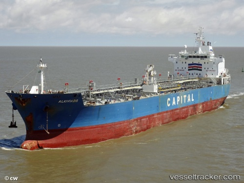
 ASTON MARINE
Current Status
Where is the vessel?
ASTON MARINE is currently in 12 nm S of Akhtirski, based on AIS data received about 1h ago.
Latest AIS update:
Current position: 44.64056° N, 38.38392° E (12 nm S of Akhtirski)
Average speed (last 7 days): Loading…
Average speed (last 30 days): Loading…
Vessel profile: ASTON MARINE is a Oil/Chemical Tanker with dimensions m x m.
This page combines live AIS, route history, probable destination signals, nearby traffic, and port activity for practical vessel monitoring.
The current position of vessel ASTON MARINE is 44.64056 lat / 38.38392 lng. Updated: 2026-05-15 15:13:30 UTCNearest reference points:
- 11 nm SE of GELENDZHIK
- Near GELENDZHIK
- Near Novorossiysk
Currently sailing under the flag of Bahamas ![]()
Details:
Live Vessel ASTON MARINE Analytics (details, animations, etc.)
Recent AIS points (UTC):
2026-05-15 08:51:29 UTC · 44.51486, 38.00829 · SOG 18.4 kn · COG 262°2026-05-15 08:51:29 UTC · 44.51486, 38.00829 · SOG 18.4 kn · COG 262°
2026-05-15 08:51:29 UTC · 44.51486, 38.00829 · SOG 18.4 kn · COG 262°
2026-05-15 15:13:30 UTC · 44.64056, 38.38392 · SOG 11.7 kn · COG 262°