 vesseltracker.com
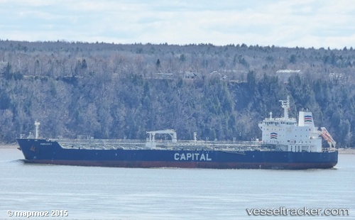
 DOLUNAY
Current Status
Where is the vessel?
DOLUNAY is currently in 23 nm S of Sciacca, based on AIS data received about 1h ago.
Latest AIS update:
Current position: 37.15055° N, 12.93557° E (23 nm S of Sciacca)
Average speed (last 7 days): Loading…
Average speed (last 30 days): Loading…
Vessel profile: DOLUNAY is a Oil/Chemical Tanker with dimensions m x m.
This page combines live AIS, route history, probable destination signals, nearby traffic, and port activity for practical vessel monitoring.
The current position of vessel DOLUNAY is 37.15055 lat / 12.93557 lng. Updated: 2026-05-14 11:39:35 UTCNearest reference points:
- Near MARSALA
- Near Licata
- Near Balestrate
Currently sailing under the flag of Palau ![]()
Details:
Live Vessel DOLUNAY Analytics (details, animations, etc.)
Recent AIS points (UTC):
2026-05-14 08:25:05 UTC · 36.83231, 13.65072 · SOG 11.8 kn · COG 300°2026-05-14 10:12:36 UTC · 37.00789, 13.24905 · SOG 12.5 kn · COG 298°
2026-05-14 10:43:05 UTC · 37.06105, 13.13443 · SOG 12.3 kn · COG 297°
2026-05-14 11:39:35 UTC · 37.15055, 12.93557 · SOG 12.6 kn · COG 298°