 vesseltracker.com
 LONG BEACH TRADER
Current Status
Where is the vessel?
LONG BEACH TRADER is currently in 63 nm SW of Cap Skiring, based on AIS data received less than 1h ago.
Latest AIS update:
Current position: 11.66678° N, 17.52902° W (63 nm SW of Cap Skiring)
Average speed (last 7 days): Loading…
Average speed (last 30 days): Loading…
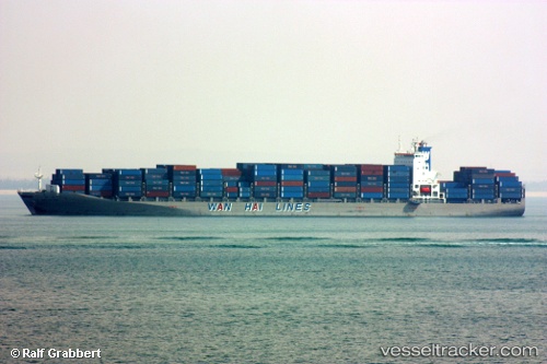
Vessel profile: LONG BEACH TRADER is a Container Ship with dimensions 277m x 40m.
This page combines live AIS, route history, probable destination signals, nearby traffic, and port activity for practical vessel monitoring.
The current position of vessel LONG BEACH TRADER is 11.66678 lat / -17.52902 lng. Updated: 2026-05-16 05:51:43 UTCNearest reference points:
- 48 nm W of Cap Skiring
- Near San Francisco Libre
- 144 nm SW of Bubaque
Currently sailing under the flag of Liberia ![]()
LONG BEACH TRADER built in 2007 year
Deadweight:
67797 tDetails:
Live Vessel LONG BEACH TRADER Analytics (details, animations, etc.)
Recent AIS points (UTC):
2026-05-16 02:30:43 UTC · 12.52372, -17.72840 · SOG 15.3 kn · COG 165°2026-05-16 03:30:00 UTC · 12.27287, -17.66865 · SOG 15.6 kn · COG 165°
2026-05-16 05:09:37 UTC · 11.84712, -17.56930 · SOG 15.6 kn · COG 166°
2026-05-16 05:51:43 UTC · 11.66678, -17.52902 · SOG 15.6 kn · COG 166°