 vesseltracker.com
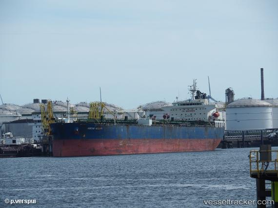
 AMI
AMI
Current Status
Where is the vessel?
AMI is currently in 38 nm N of Simancas, based on AIS data received less than 1h ago.
Latest AIS update:
Current position: 42.20202° N, 4.62935° E (38 nm N of Simancas)
Average speed (last 7 days): Loading…
Average speed (last 30 days): Loading…
Vessel profile: AMI is a Crude Oil Tanker with dimensions m x m.
This page combines live AIS, route history, probable destination signals, nearby traffic, and port activity for practical vessel monitoring.
The current position of vessel AMI is 42.20202 lat / 4.62935 lng. Updated: 2026-04-24 21:30:09 UTCNearest reference points:
- 25 nm SW of Carro
- 23 nm SW of Toulon
- 13 nm E of L'ESTARTIT
Currently sailing under the flag of Cook Islands ![]()
Details:
Live Vessel AMI Analytics (details, animations, etc.)
Recent AIS points (UTC):
2026-04-24 17:58:16 UTC · 42.56956, 5.57428 · SOG 13.1 kn · COG 240°2026-04-24 19:34:15 UTC · 42.41481, 5.17995 · SOG 13.2 kn · COG 241°
2026-04-24 19:48:45 UTC · 42.38934, 5.11531 · SOG 13.2 kn · COG 243°
2026-04-24 21:30:09 UTC · 42.20202, 4.62935 · SOG 13.6 kn · COG 245°