 vesseltracker.com
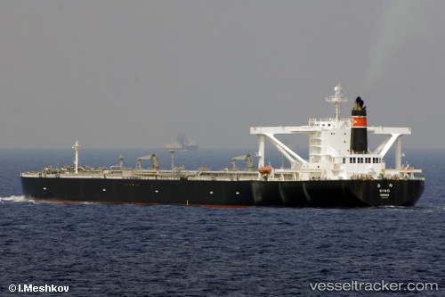
 KIHO
KIHO
Current Status
Where is the vessel?
KIHO is currently in 86 nm W of Oga, based on AIS data received less than 1h ago.
Latest AIS update:
Current position: 40.31690° N, 138.05330° E (86 nm W of Oga)
Average speed (last 7 days): Loading…
Average speed (last 30 days): Loading…
Vessel profile: KIHO is a Crude Oil Tanker with dimensions m x m.
This page combines live AIS, route history, probable destination signals, nearby traffic, and port activity for practical vessel monitoring.
The current position of vessel KIHO is 40.31690 lat / 138.05330 lng. Updated: 2026-05-14 19:02:56 UTCNearest reference points:
- 63 nm NW of Sado Shima Apt
Currently sailing under the flag of Panama ![]()
Details:
Live Vessel KIHO Analytics (details, animations, etc.)
Recent AIS points (UTC):
2026-05-14 16:57:27 UTC · 40.54164, 138.56238 · SOG 13 kn · COG 236°2026-05-14 17:37:47 UTC · 40.46496, 138.40173 · SOG 12.9 kn · COG 239°
2026-05-14 19:02:56 UTC · 40.31690, 138.05330 · SOG 13 kn · COG 241°
2026-05-14 19:02:56 UTC · 40.31690, 138.05330 · SOG 13 kn · COG 241°